Serviços

Precisando de um Topografo? Resolvemos pra você!

Solicite um Orçamento

Oferecemos serviços de topografia acessíveis, rápidos e confiáveis para atender suas necessidades específicas.

A person wearing a reflective safety vest stands outdoors on grassy terrain. They are holding equipment and seem engaged in some form of land survey work. Nearby, a tripod with a white circular device is set up, casting a shadow on the ground.
Georreferenciamento Preciso

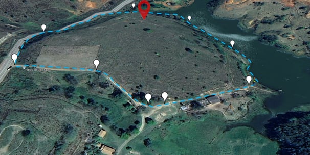
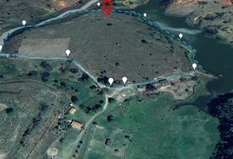
Realizamos georreferenciamento de imóveis rurais e urbanos, com qualidade e clareza, garantindo a melhor solução técnica e certificação no SIGEF/INCRA

Levantamentos Planialtimétricos
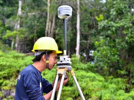
  • Levantamentos topográficos planimétricos e planialtimétricos

  • Desmembramento, unificação e retificação de áreas

  • Elaboração de plantas, memoriais descritivos e TRTs

Projetos Topográficos

Serviços de topografia acessíveis e confiáveis para todos.

Georreferenciamento

Precisão em projetos de georreferenciamento para sua propriedade.

Levantamentos

Levantamentos planialtimétricos com qualidade e clareza garantidas.
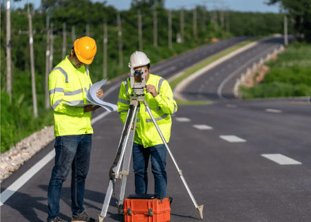
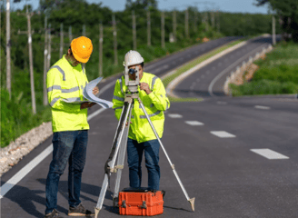
A person wearing a white hard hat and high-visibility vest operates a surveying instrument, focusing intently on the task at hand. The background is blurred with hints of other construction activities or team members.
Apoio Civil

Suporte técnico para obras civis e infraestrutura.
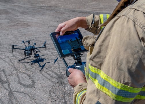
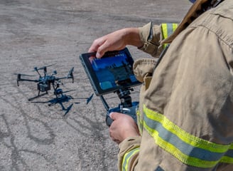
Aerofotogrametria

Mapeamento com drones (levantamentos aéreos de alta precisão)

Foi bem fácil o contato e a negociação! A equipe da Vertex Agrimensura é muito profissional e atenciosa.

João Silva

A close-up view of a topographical map featuring a grid overlay. The map highlights the 'Emigrant Trail' and 'BLM' in bold text. There are marked trails with dashed lines and various geographical features such as contours and elevations.

★★★★★